

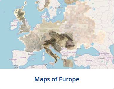
For those inetrested in old maps I recommend the website: http://www.mapire.eu/en/
The website shows the maps of Habsburg Empire from 19th century. What is interesting is that it is linked to Google earth and you can easily switch from 19th century map to present maps. There are many regions among them Galicia